


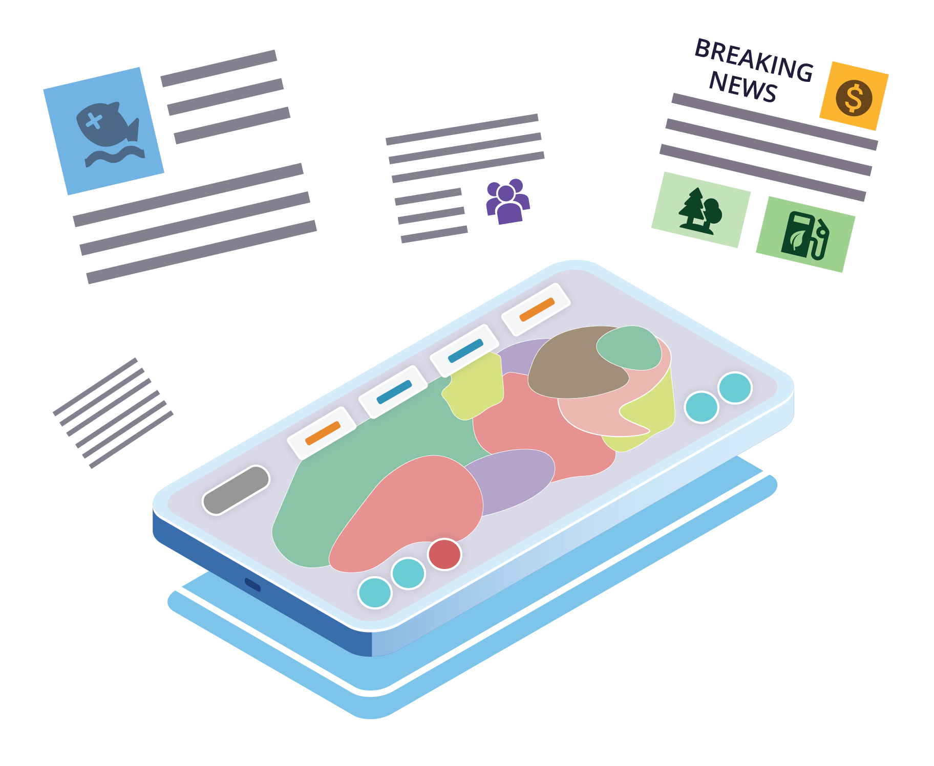
Use real land-use data to address environmental and social challenges in your own backyard! Think you can increase jobs while reducing greenhouse gas emissions? Can you develop a land-use plan that will satisfy residents, business owners, and activists?
Explore the challenges of land-use planning to address diverse issues in this immersive simulator based on real science. iPlan dynamically models land-use scenarios in any location within the contiguous United States. Just choose a location using the Google Maps interface, choose the issues you want to explore, and then start making land-use changes. Will your changes please community leaders? There’s only one way to find out!
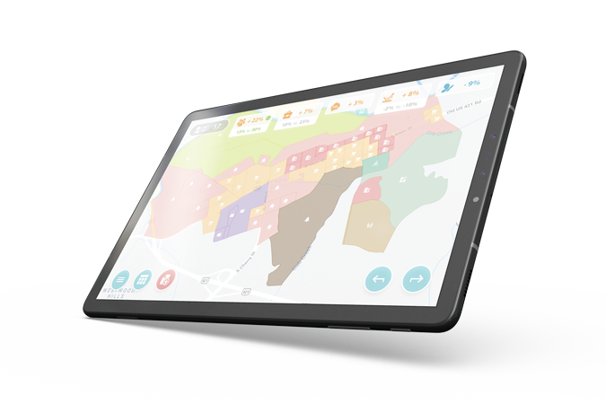
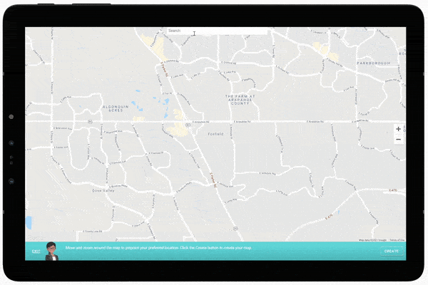
iPlan uses real land-use data to create zoning maps of any location in the contiguous United States.
You can choose a range of social, economic, and environmental issues to explore, including jobs, housing, greenhouse gas emissions, air and water pollutants, and more.
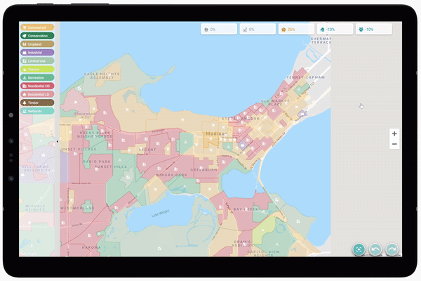
The interactive map in iPlan shows you the impacts of land-use changes on the selected issues.
The goal is to develop a new land-use plan that satisfies various stakeholders, who have different and sometimes conflicting interests.


iPlan was developed by the University of Wisconsin–Madison and the Massachusetts Audubon Society with funding from the National Science Foundation (DRL-1713110, DRL-2405238).